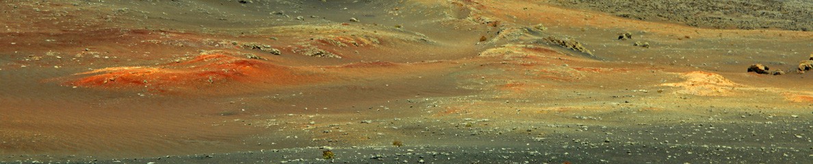
Nouvelle crise éruptive du Shiveluch (Kamchatka / Russie) // New eruptive crisis of Shiveluch (Kamchatka / Russia)

drapeau-francaisSelon une dépêche de l’agence Tass, le Shiveluch a connu aujourd’hui une nouvelle crise éruptive avec des avalanches incandescentes qui ont généré des nuages de cendre jusqu’à 5 km d’altitude. Le nuage éruptif s’est ensuite dirigé vers l’E et ne NE sur une quinzaine de km. Toutefois, il n’est pas fait état de retombées de cendre dans la région.
Le niveau d’alerte est maintenu à l’Orange. Des émissions de cendre jusqu’à 10 km d’altitude sont toujours possibles. En conséquence, il est conseillé aux pilotes d’avions de modifier leurs trajectoires de vols.

——————————

drapeau-anglaisAccording to a report from the TASS press agency, Shiveluch went through another eruptive crisis today with hot avalanches that produced ash clouds up to 5 km a.s.l. The eruptive cloud drifted E and SE over about 15 km. However, no ashfall was reported in the area.
The alert level is kept at Orange. Shiveluch can spew ash up to 10 kilometers a.s.l.at any moment. As a consequence, airlines that fly near the volcano are advised to change their routes.

Holuhraun !

drapeau-francaisLes autorités locales du comté de Skútustaðahreppur ont décidé que la fracture éruptive dans l’Holuhraun, qui est apparue au cours de l’éruption de l’an dernier, va désormais s’appeler « Holuhraun ». Quatre autres noms ont été suggérés: Holuhraun, Flæðahraun, Nornahraun et Urðarbruni.
Source: Iceland Monitor: http://icelandmonitor.mbl.is/

Contrairement à plusieurs autres sites ou blogs affirmant qu’il s’agissait d’une éruption du Bárðarbunga, j’ai toujours utilisé l’expression « éruption dans l’Holuhraun » pour faire référence à cet événement. Certes, le dyke éruptif avait sa source sous le Bárðarbunga – l’affaissement du plancher du cratère était là pour le prouver – mais appeler l’éruption « Bárðarbunga » aurait été source de confusion. En effet, si le Bárðarbunga était vraiment entré en éruption (ce que certains redoutaient), cela aurait été un événement sous-glaciaire avec des conséquences qui nous auraient rappelé l’éruption de l’Eyjafjöll en 2010, avec de volumineux nuages de cendre et des perturbations probables au trafic aérien. L’un des principaux problèmes lié à l’éruption dans l’Holuhraun a concerné les émissions de SO2 particulièrement denses qui ont affecté la vie en Islande pendant plusieurs semaines.

————————————

drapeau-anglaisThe Skútustaðahreppur county authority has decided that the Holuhraun eruptive fissure, formed in last year’s eruption will now formerly receive the name Holuhraun. Four other names had been suggested: Holuhraun, Flæðahraun, Nornahraun and Urðarbruni.
Source : Iceland Monitor : http://icelandmonitor.mbl.is/

Contrary to several other websites or weblogs that said it was the Barðarbunga eruption, I always referred to it as “Holuhraun”. Although the eruptive dyke had its source beneath Barðarbunga – as could be seen with the subsidence of the crater floor – calling the eruption “Barðarbunga” would have been confusing. Indeed, had Barðarbunga really erupted, it would have been a subglacial event whose consequences would have reminded us of the 2010 Eyjafjöll eruption, with voluminous ash clouds and likely disruptions of air traffic. One of the major problems with the Holuhraun eruption was the dense SO2 emissions which perturbed life in Iceland for several weeks.

Bardarbunga

Crédit photo: Wikipedia

Fuego (Guatemala): Intensification de l’activité éruptive // Strong eruptive activity

drapeau-francaisLe Fuego connaît une recrudescence d’activité depuis quelques jours avec des coulées de lave dans les ravines Trinidad, Las Lajas y Santa Teresa où la lave se déplace sur des longueurs entre 1,5 et 2 km. Des explosions bruyantes secouent le sommet, avec des grondements ressemblant à ceux d’une locomotive. La colonne de cendre monte jusqu’à 6 ou 7 km d’altitude avant de s’étirer sur une trentaine de kilomètres, arrosant au passage des localités comme Escuintla, Santa Lucia Cotzumalguapa, Yepocapa, Morelia, Santa Sofía, Panimache I et II. Dans son dernier bulletin du 16 décembre, l’INSIVUMEH n’exclut pas une forte activité strombolienne avec coulées de lave, voire coulées pyroclastiques dans les ravines Trinidad et
Las Lajas dans les prochains jours.

Voici une petite vidéo en accéléré montrant l’activité actuelle du Fuego:

https://www.youtube.com/watch?feature=player_embedded&v=NPCHssM8E5U

—————————————–

drapeau-anglaisFuego is currently going through a new outbreak of activity, with lava flows in the Trinidad, Las Lajas and Santa Teresa drainages where lava is travelling over distances between 1.5 and 2 km. Loud explosions shake the summit with rumblings like those of a locomotive. The ash column rises to 6 or 7 km a.s.l. before drifting over thirty kilometers, with ashfall over places like Escuintla, Santa Lucia Cotzumalguapa, Yepocapa, Morelia, Santa Sofia and Panimache I and II. In its latest bulletin of 16 December, INSIVUMEH does not exclude strong strombolian activity with lava flows or pyroclastic flows in the Trinidad and
Las Lajas drainages in the coming days.

Here is a short time lapse video showing Fuego’s current activity:

https://www.youtube.com/watch?feature=player_embedded&v=NPCHssM8E5U

Belle coupe d’un hornito // Nice cross section of a hornito

drapeau-francaisLe HVO a récemment mis en ligne deux photos très intéressantes d’un hornito qui était actif ces derniers temps dans la partie supérieure de la coulée de lave du 27 juin. La structure a environ 2,50 mètres de hauteur. L’Observatoire rappelle qu’un hornito est formé par les gaz et la lave qui se frayent un chemin sous pression à travers une petite ouverture dans le toit d’un tunnel de lave. Sur un côté du hornito, on observe un petit écoulement de lave solidifiée qui suintait par le sommet. Tout le reste du hornito est constitué de projections et de cheveux de Pélé.

Hornito 1

Crédit photo: USGS / HVO

La deuxième photo montre la coupe d’un hornito. Un effondrement partiel a ouvert une fenêtre sur une partie d’un tunnel de lave aujourd’hui inactif. L’espace vide derrière le géologue sur l’image était autrefois occupé par la lave, avec des gaz sous pression qui s’échappaient à travers la fissure étroite visible dans le centre de la photo. Cette fissure émettait des projections qui, en se solidifiant autour de l’ouverture, ont façonné le hornito.

Hornito 2

Crédit photo: USGS / HVO.

En ce qui concerne le Kilauea, l’éruption continue à la fois au sommet et sur l’East Rift Zone. L’activité sismique et la déformation se maintiennent à des niveaux normaux. Les webcams montrent des points d’incandescence et des émanations gazeuses sur la lèvre E et à l’intérieur du cratère du Pu’uO’o. L’activité effusive se limite à quelques coulées éphémères sur le champ de lave jusqu’à environ 6 km au nord-est de Pu’uO’o. Les coulées ne représentent pas de menace pour les zones habitées.

Source: HVO.

—————————————

drapeau-anglaisHVO has recently posted two very interesting photos of a hornito which was recently active in the upper portion of the June 27th lava flow. The structure is about 2.5 metres tall. The Observatory reminds us that a hornito is formed by gas and lava forced through a small opening in the roof of a lava tube. One side of the hornito has a small solidified flow of lava that oozed from the top, with the remainder consisting of spatter and Pele’s hair.

The second photo reveals the cross section of a hornito. A partial collapse provided a window into a portion of an abandoned lava tube. The void space behind the geologist on the image was filled with lava at some point, with lava and gas forced through the narrow crack in the centre of the photo. This ejected bits of spatter, which solidified around the opening and built the hornito.

As far as activity of Kilauea volcano is concerned, the eruption continues both at the summit and on the East Rift Zone. Seismic activity and deformation rates throughout the volcano are within background levels. The webcams show glowing and fuming spots on the east rim of, and within, Pu’uO’o crater and scattered activity on the June 27th lava flow field within 6 km northeast of Pu’uO’o. Lava flow activity poses no threat to nearby communities?

Source: HVO.