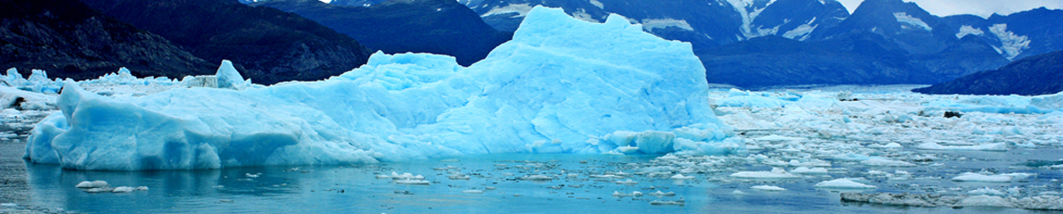
 Une éruption volcanique s’est produite à 400 km à l’ouest de Raoul Island laissant, selon les scientifiques néo-zélandais, « un vaste radeau (=une nappe!) de ponce » à la surface de l’océan. On a d’abord cru que la ponce avait été émise par le volcan Monowai, mais ce dernier se trouve au NE de Raoul Island. L’éruption a du être particulièrement violente car la nappe de ponce mesure 463 km de long sur 55 km de large!
Quand on lui a demandé si l’éruption pouvait avoir un lien avec celle du Tongariro, un volcanologue NZ a répondu : « On se trouve sur la même limite de plaques tectoniques, mais le lien s’arrête là. »
Raoul Island fait partie des Iles Kermadec, à environ 1100 km au NE de la Nouvelle Zélande.
Source: New Zealand press.
Premières photos de l’événement en suivant ce lien:
http://www.nzherald.co.nz/nz/news/image.cfm?c_id=1&gal_cid=1&gallery_id=127405#9475112
Et une vidéo aérienne:
http://www.stuff.co.nz/science/7455060/25-000-sq-km-pumice-raft-floats-in-sea
 A volcanic eruption has occurred 400 km west of Raoul Island, creating a large “pumice raft”. It was originally thought that the undersea volcano Monowai had erupted, but it’s northeast of Raoul Island. The eruption must have been intense as the pumice sheet is 463 km long by 55 km wide!
Asked if the undersea eruption was linked to the eruption of Mt Tongariro and an eruption on White Island this week a NZ scientist said: « It’s all along the same boundary but that is about where the link stops ».
Raoul Island is part of Kermadec Islands and is 1100km northeast of New Zealand.
Source: Presse néo-zélandaise.
First photos of the event by clicking on this link:
http://www.nzherald.co.nz/nz/news/image.cfm?c_id=1&gal_cid=1&gallery_id=127405#9475112
And a video shot from a plane:
http://www.stuff.co.nz/science/7455060/25-000-sq-km-pumice-raft-floats-in-sea
