
Avant que la chaleur envahisse l’archipel, j’ai fait une nouvelle escapade vers les Iles Canaries en cette fin de mois de mai. Après Tenerife l’an dernier, c’est Lanzarote qui était dans mon collimateur cette année. J’avais envie de voir les vestiges des deux éruptions qui ont secoué l’île en 1730 et en 1824.
Les visiteurs qui aiment les volcans ne sont pas déçus à Lanzarote car on voyage en permanence au milieu de cônes stromboliens – égueulés pour la plupart – et de coulées de lave dont beaucoup n’ont pas encore été colonisées par les lichens et la végétation. On a vraiment l’impression que la lave – très riche en olivine – a été vomie il y a seulement quelques années.
Le Parc National de Timanfaya est bien sûr le clou du spectacle. Pour en profiter, il faut se plier à de sévères restrictions d’accès que je trouve parfois exagérées. Pour ne citer que l’une d’entre elles, il est interdit de quitter sa voiture lorsque l’on parcourt les routes qui traversent le Parc. Pourquoi ne pas avoir aménagé quelques aires de stationnement aux endroits les plus photogéniques ? Le parcours effectué en car est fort intéressant. Je recommande de le faire deux fois : un premier trajet assis à gauche et un autre assis à droite du car, afin de profiter de l’ensemble des paysages. Le point de ralliement est le rendez-vous de nombreux cars et voitures avec leurs déversements de touristes. C’est là aussi que l’on aura une démonstration de jets de vapeur et d’enflammement d’herbes sèches, histoire de démontrer que la chaleur résiduelle du magma est toujours présente à Lanzarote. Mon thermomètre montrait une température d’environ 600°C là où la chaleur est suffisante pour faire brûler des herbes sèches. Elle avoisinait 250°C dans les orifices utilisés par le restaurant panoramique pour faire cuire les cuisses de poulets et les pommes de terre.
En dehors du circuit touristique, il faut noter la Ruta de Termesana, petit circuit à pied à l’intérieur du Parc sous la houlette d’un guide. Il est nécessaire de réserver un mois à l’avance (groupe de 8 personnes maxi chaque vendredi matin. Connaissance de l’espagnol ou de l’anglais obligatoire).
Pour ceux qui, comme moi, fuient les zones hyper touristiques, des balades sont possibles dans le Parque Natural de Los Volcanes (à ne pas confondre avec Timanfaya), sans oublier les routes et chemins côtiers qui offrent de superbes opportunités géologiques.
Voici quelques images de ce périple pendant lequel je me suis vraiment régalé.
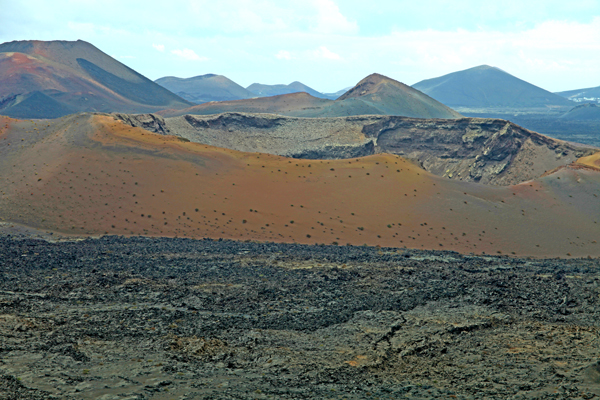
Le Parc National de Timanfaya…

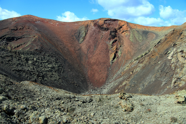
De superbes couleurs…


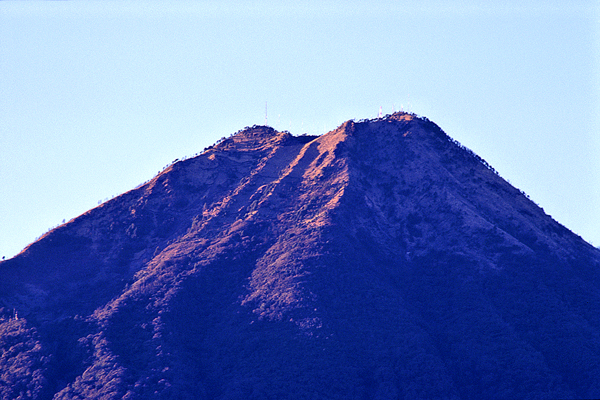
Une profusion de cratères…
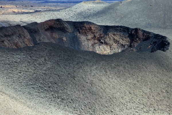

Des fractures éruptives…
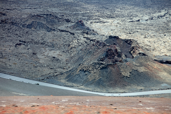
Des coulées de lave impressionnantes.

Une lave riche en olivine

L’îlot de La Graciosa est lui aussi volcanique
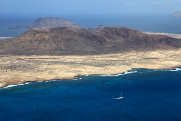
(Photos: C. Grandpey)


