 L’éruption du Kilauea continue, aussi bien au sommet que sur l’East Rift Zone. Au sommet, la sismicité a retrouvé un niveau normal. Le tiltmètre montre actuellement une tendance au dégonflement de l’édifice après avoir connu un épisode inflationniste il y a quelques jours. Comme d’habitude, le lac de lave de l’Halema’uma’u réagit à cette évolution. Son niveau se situe à environ 75 mètres sous le plancher du cratère.
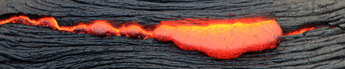
Le tiltmètre installé sur le flanc nord du Pu’uO’o ne révèle pas de changements majeurs et la sismicité se maintient à un niveau normal. Les images fournies par les webcams et les satellites montrent qu’une activité de surface avec plusieurs sorties de lave reste d’actualité à moins de 7 km au NE du Pu’uO’o.
Source : HVO.
———————————————
 Kilauea continues to erupt at its summit and on the East Rift Zone. Seismicity at the summit has gone back to background levels. The summit tiltmeter is currently showing a deflationary tendency, after an inflation episode a few days ago. As usual, the lava lake responds to these phenomena. Its surface lies approximately 75 metres below the floor of Halema`uma`u.
The tiltmeter on the north flank of Pu’uO’o continues to show no significant tilt, and seismicity rates are at background levels. Webcam images and satellite imagery continue to show surface flow activity from several breakouts in an area within 7 km NE of Pu’uO’o.
Source: HVO.

Le lac de lave de l’Halema’uma’u vu par la webcam thermique du HVO.


