Accès à l’Etna: Dernières nouvelles // Access to Mt Etna: Latest news

Au vu d’une nouvelle ordonnance signée par Antonino Borzi, maire de Nicolosi, il semblerait que l’on soit arrivé à une certaine harmonisation concernant l’accès à l’Etna. Le nouveau décret (voir lien ci-dessous) stipule que l’accès est libre, aussi bien sur le versant sud que sur le versant nord, jusqu’à l’altitude 2800 m. Il exige l’accompagnement d’un guide jusqu’à l’altitude 2950m et est formellement interdit au-dessus de cette dernière altitude. Le décret indique que ces zones d’accès sont susceptibles de varier en fonction de l’activité du volcan. Les interdictions ne concernent pas la Protection Civile, les guides de l’Etna et du CAI autorisés, ainsi que les scientifiques de l’INGV..

http://www.nicolosicura.it/wp-content/uploads/2017/04/OS-15-2017.pdf

++++++++++

Aux dernières nouvelles, selon les informations que vient de me transmettre un ami sicilien, l’ordonnance mentionnée ci-dessus ne concernerait que l’Etna sud, administré par la commune de Nicolosi. S’agissant de l’Etna Nord (côté Linguaglossa), les restrictions d’accès mentionnées précédemment (ordonnance du 28 mars 2017) resteraient donc en vigueur : Accès libre jusqu’à 2650 mètres, avec les guides jusqu’à 2920 m et interdit au-dessus de cette dernière altitude.

Autrement dit, la situation est toujours aussi confuse !

—————————————-

Judging from a new ordinance signed by Antonino Borzi, Mayor of Nicolosi, it seems that a certain harmonization has been reached regarding access to Mt Etna. The new decree (see link below) stipulates that access is free, both on the southern and northern slopes, up to 2800 metres a.s.l. It requires the accompaniment of a guide up to 2950m. a.s.l. and is struictly prohibited above this last altitude. The decree indicates that these access zones are likely to vary depending on the activity of the volcano. Prohibitions do not apply to Civil Protection, Etna and CAI guides, as well as INGV scientists.
http://www.nicolosicura.it/wp-content/uploads/2017/04/OS-15-2017.pdf

++++++++++

A Sicilan friend of mine has just told me that the above-mentioned ordinance only concerns Etna South which is managed by the municipality of Nicolosi. As far as Etna North (Linguaglossa) is concerned, it looks as if the restrictions mentioned in the ordinance of March 28th 2017 are still valid: free access up to 2650 m. a.s.l., with guides up to 2920 m. and no access above this altitude.

All this means there is still a great confusion!

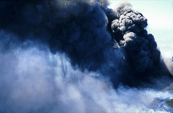
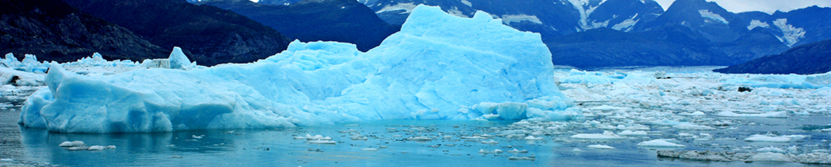
Photo prise à une époque moins restrictive… (Photo: C. Grandpey)

Accès à l’Etna: Une plaisanterie sicilienne // Access to Mt Etna: A Sicilian joke

Comme je l’ai indiqué précédemment, c’est désormais aux communes situées sur les hautes pentes de l’Etna de gérer la sécurité et donc de déterminer les zones autorisées ou interdites aux randonneurs. Ce nouveau contexte complique sérieusement la tâche de ceux qui veulent escalader le Mongibello car il n’y a aucune harmonie entre les différentes communes. Il faut être non seulement un bon randonneur, aussi un grand connaisseur des limites territoriales des municipalités qui, comme autant de tranches d’une tarte, convergent vers le sommet du volcan.  Il faut également posséder une bonne carte topographique, un altimètre précis, ainsi qu’un très bon sens de l’orientation !

On arrive à l’incohérence suivante :

Si vous êtes une zone sous la responsabilité de la municipalité de Ragalna vous pouvez accéder librement jusqu’à 2100 mètres; si vous voulez arriver à 2200 m., vous devez être accompagné par des guides et au-dessus 2200, l’accès est totalement interdit.
Si vous êtes sur le territoire de Nicolosi, c’est le décret du 25 mars qu’il faudra respecter. Il limite l’accès libre à l’altitude 2500, et avec accompagnement obligatoire des guides jusqu’à 2850. Au-dessus de 2920 m. la zone est interdite.
Si vous êtes dans la région de Belpasso, il faudra vous référer à l’ordonnance n° 43 du 31 mars 2017 qui limite l’accès libre à 2100 m.
Enfin, si vous avez opté pour l’accès côté nord (Linguaglossa) il faudra prendre en compte le décret du 15 mars 2017qui limite l’accès à l’altitude 2850.
On ne rit pas….

En cliquant sur ces liens, vous aurez accès aux différents décrets:

http://www.comune.ragalna.ct.it/servizi_alle_imprese/News/default.aspx?5*1956*0*1

http://www.comune.ragalna.ct.it/Repository/Ragalna/Informative/2017/id_1956/ORDINANZA_SINDACO_RAGALNA_N._08.pdf

http://www.nicolosicura.it/wp-content/uploads/2017/03/Ordinanza-Sindacale-n.-14-del-25.03.2017.pdf

http://belpasso.trasparenza-valutazione-merito.it/web/trasparenza/albo-pretorio/-/papca/display/3165623?p_auth=arVdu7lb


 —————————————

As I mentioned earlier, it is now up to the municipalities located on the high slopes of Mount Etna to manage the safety and thus to determine the zones authorized or prohibited to hikers. This new context seriously complicates the task of those who want to climb Mongibello because there is no harmony between the different municipalities. One must be not only a good hiker, but also a great connoisseur of the territorial limits of the municipalities which, like so many slices of a pie, converge towards the top of the volcano. It is also necessary to have a good topographic map, an accurate altimeter, and a very good sense of direction!
We arrive at the following inconsistency:
If you are an area under the responsibility of the municipality of Ragalna you can freely access up to 2100 meters. If you want to reach 2200 m., you must be accompanied by guides and above 2200, access is totally prohibited.
If you are in the territory of Nicolosi, it is the ordinance of March 25th that will have to be respected. It limits free access to altitude 2500, and with compulsory accompaniment of guides up to 2850. Above 2920 m.; the area is prohibited.
If you are in the Belpasso area, you will have to refer to Ordinance n ° 43 of 31 March 2017 which restricts free access to 2100 m.
Finally, if you have opted for access on the north side (Linguaglossa) it will be necessary to take into account the ordinance of 15 March 2017which limits access to altitude 2850.

Accès à l’Etna // Access to Mt Etna

Suite à l’explosion phréato-magmatique du 16 mars 2017 sur l’Etna (voir ma note de ce jour), les autorités locales ont publié une nouvelle ordonnance définissant la réglementation d’accès au volcan sur son versant sud.

L’accès est désormais libre jusqu’à l’altitude 2500 mètres.

L’accès est autorisé avec l’accompagnement obligatoire d’un guide jusqu’à l’altitude 2870 mètres.

L’accès est formellement interdit au-dessus de l’altitude 2870 mètres.

Vous trouverez l’intégralité du texte officiel en cliquant sur ce lien. Merci à mon ami Santo Scalia de me l’avoir adressé.

http://www.nicolosicura.it/wp-content/uploads/2017/03/Ordinanza-Sindacale-n.-14-del-25.03.2017.pdf

———————————–

Following the phreato-magmatic explosion of 16 March 2017 on Mt Etna, (see my note of that day), local authorities have modified the access regulations to the volcano on its southern flank.
Access is free up to 2500 metres a.s.l.
Access is allowed with the compulsory accompaniment of a guide up to 2870 metres a.s.l.
Access is prohibited above 2870 metres a.s.l.
You can find the full text by clicking on this link. Many thanks to my friend Santo Scalia for sending it to me.
Http://www.nicolosicura.it/wp-content/uploads/2017/03/Ordinanza-Sindacale-n.-14-del-25.03.2017.pdf

Photo: C. Grandpey


Turrialba (Costa Rica): Intensification des éruptions et restrictions d’accès

drapeau francaisLe Turrialba montre un regain d’activité depuis le mois d’octobre 2014. Suite à l’apparition d’un nouveau cycle d’éruptions, l’accès au volcan vient d’être réduit, avec la mise en place d’un périmètre de sécurité de 5 km autour du cratère. L’OVSICORI a enregistré au moins 6 éruptions dimanche matin, avec émissions de gaz et de cendre.

En cliquant sur ce lien, vous verrez l’un des épisodes éruptifs observés le 1er mai 2016 :

https://www.youtube.com/watch?feature=player_detailpage&v=qJjX3lPJPRo

———————————-

drapeau-anglaisTurrialba has been quite active since October 2014. However, due to the start of a new cycle of eruptions, access to the volcano has been closed off, with a five-kilometre perimeter established. OVSICORI registered at least six eruptions on Sunday morning that released gas and ash into the atmosphere.
By clicking on this link, you will see an eruptive episode at Turrialba volcano on May 1st 2016:

https://www.youtube.com/watch?feature=player_detailpage&v=qJjX3lPJPRo

Turrialba-02

Source: OVSICORI.