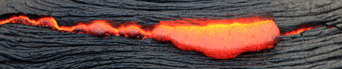
 Voici une annonce assez surprenante de GeoNET à propos de la surveillance du volcan de White Iskand (Nouvelle Zélande) :
« La récente perte d’accès aux données en continu pour Whakaari / White Island signifie que nous sommes absolument incapables de faire la distinction en temps quasi réel entre VAL 1 (activité volcanique mineure) et VAL 2 (activité modérée à forte). En conséquence, le niveau d’alerte volcanique pour Whakaari / White Island a été relevé à 2, non pas suite à l’observation d’une hausse de l’activité volcanique, mais en raison de notre niveau d’incertitude pour interpréter actuellement la situation par manque de données en temps réel. »
Depuis l’explosion du 9 décembre 2019, l’accès à White Island est interdit au public. L’île se situant à une cinquantaine de km de la côte de l’Ile du Nord, le risque pour les populations est faible.
—————————————
 Here is a rather surprising announcement from GeoNET about the monitoring of the White Iskand volcano (New Zealand):
« The recent loss of access to continuous data from Whakaari/White Island means we are effectively unable to distinguish in near real-time between VAL 1 (minor volcanic unrest) and VAL 2 (moderate to heightened unrest). As a result, the Volcanic Alert Level for Whakaari/White Island has been raised to Level 2, not as an indication of a noticed increase in volcanic activity, but as a reflection of the increased level of uncertainty in our interpretation due to the current lack of real-time data. »
Since the explosion of December 9th, 2019, access to White Island has been prohibited to the public. As the island is located about fifty kilometers from the coast of the North Island, the risk for the populations is low.
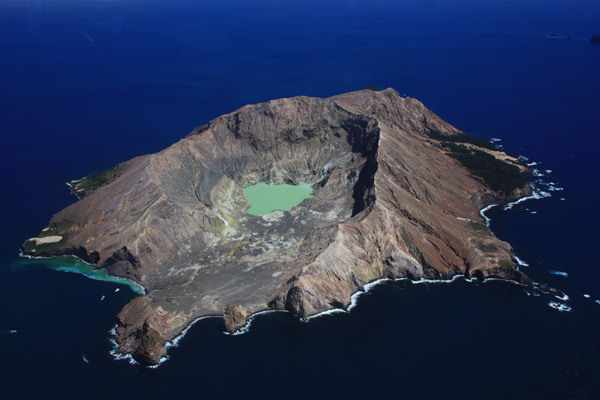
Photo: C. Grandpey
