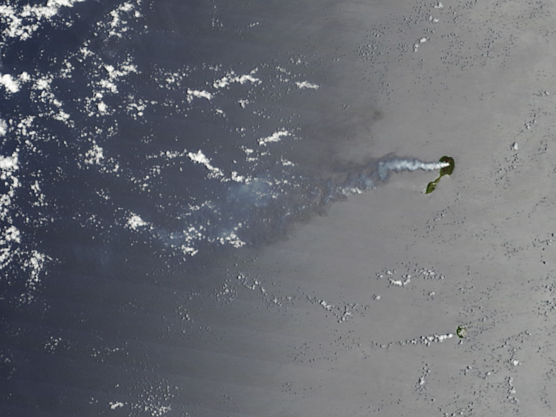
 La NASA a mis en ligne une photo de Pagan Island prise le 7 mai par le satellite Terra. Le volcan reste actif et il émet périodiquement, depuis 3 ans environ, des panaches de vapeur et de gaz. Le panache visible sur la photo présente une teinte bleutée assez prononcée qui indique qu’il est riche en dioxyde de soufre.
http://eoimages.gsfc.nasa.gov/images/imagerecords/77000/77898/paganisland_tmo_2012128_lrg.jpg
 NASA has released a photo of Pagan Island taken on May 7th by the Terra satellite. The volcano remains quite active and has intermittently emitted plumes of steam and gas for three years or so. The plume that can be seen on the photo has a blue tint suggesting an elevated presence of SO2.
http://eoimages.gsfc.nasa.gov/images/imagerecords/77000/77898/paganisland_tmo_2012128_lrg.jpg

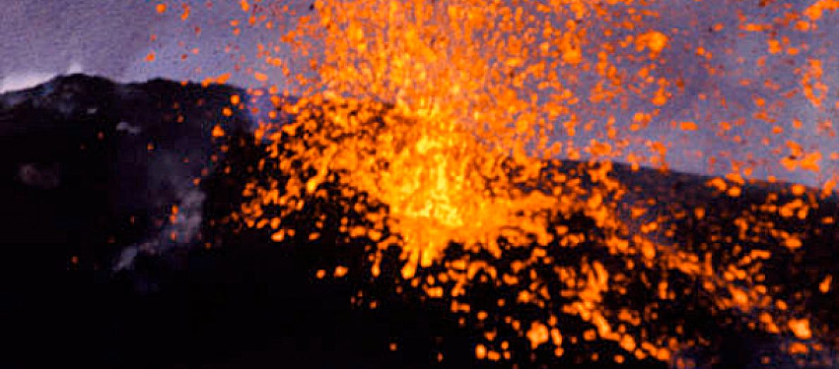
 Le niveau de l’activité éruptive reste élevé, mais aucune intensification particulière n’a été observée au cours des dernières heures. Comme je l’ai indiqué précédemment, le principal problème concerne les retombées de cendre qui affectent les secteurs sous le vent. En cliquant sur le lien ci-dessous, vous verrez en particulier des images de Santiago Xalizintla où la cendre du Popo recouvre le sol et où les habitants portent souvent des masques anti-poussière.
 Eruptive activity is still high but no significant intensification has been observed during the past hours. As I put it before, the main problem concerns the ashfall in the areas downwind. By clicking on the link here below, you’ll see images of Santiago Xalizintla where the ash from Popocatepetl covers the ground and where residents often wear surgical masks.
